
Redwood City Neighbors by Block
A block lookup works when each source keeps its own meaning. Redwood City Community GIS is the starting map for a subject address, adjacent parcels, APNs, and city context. The county assessment roll and RecorderWorks can add owner and recorded-interest evidence. Neither source is a list of everyone who lives nearby.
| Source | What It Shows About a Block | Access |
|---|---|---|
| Redwood City Community GIS | Parcel layout, APN, situs, zoning, land use, districts, neighborhood, trees, flood, and projects | Free interactive viewer |
| San Mateo County parcel layer | APN, SITUS_ADDR, geometry, and technical distance or statistics queries | County GIS; public layer has no owner names |
| Assessment Roll | Assessed owner, land and improvement values, and exemptions for each parcel | Public inspection at 555 County Center |
| RecorderWorks | Recorded parties, document type, date, APN when indexed, and title events | Online index from 1985; counter images |
| Redwood City eTRAKiT | Permit or planning project contacts, milestones, reviews, conditions, and chronology | Free public address or APN search |
| Voter file | Approved-purpose registration data, not a public block browse | Application and election-official approval |
| Neighborhood associations | Voluntary civic contacts and public association information | Official city list; no member directory represented |
Owners, recorded parties, permit contacts, and occupants are different categories. A deed can connect a person or entity to land. A permit can name an architect or contractor. A map can show a parcel. None of those facts alone establishes the full set of Redwood City neighbors at a given moment.
Map Redwood City Neighbors Parcel by Parcel
Use the adjacent-parcel method when the question is about the immediate block. Start with a known address in Community GIS, zoom until parcel lines are clear, and keep the subject APN separate from every nearby APN. The county GIS gateway at San Mateo County GIS can provide county-level parcel context, but the cited public layer exposes APN, situs, and geometry rather than owner names.
- Search the subject address and record the APN, situs, parcel shape, city jurisdiction, neighborhood, and council district.
- Click the immediate left, right, and across-street parcels at the same zoom level, then record each APN and situs address.
- Turn on zoning, General Plan land use, permit, project, tree, flood, and bicycle layers to describe shared block context.
- Carry each APN to the Assessor roll for assessed owner, value, and exemption information, then use RecorderWorks for title events.
- Use eTRAKiT for address or APN project history, while keeping applicant and contact names separate from owner or occupant claims.
For a full named-street chain, the Redwood City street directory uses a broader address-by-address method. A neighbor lookup should stop at the immediate block or chosen radius and preserve the source and date for every parcel.
Redwood City GIS Layers for Neighbors
Community GIS makes the block legible before a record request is made. Its documented resources include property information, permit applications, zoning, General Plan land use, council district, neighborhood, trees, flood zones, and bicycle network layers. Those layers answer where a parcel sits and what civic or physical features it shares with nearby parcels. They do not expose a resident roster in the cited public parcel layer.
Neighborhood and council boundaries can differ from a walkable block. Redwood Shores, for example, remains Redwood City while having a distinct bay and US-101 geography. A flood or tree layer may cross parcel lines. A permit point can sit on a parcel while the applicant lives elsewhere. Record the layer name and date so a later comparison does not treat a map display as permanent fact.
- APN
- A parcel number used by county property systems. It identifies land, not every person at the land.
- Situs
- The physical address assigned to a parcel, which may differ from a tax mailing address.
- Geometry
- The mapped shape and location of a parcel, useful for identifying adjacency.
- Recorded interest
- A deed, lien, easement, trust, or other document indexed against land or a party.
Note: GIS can show which parcels touch a block, but it cannot turn those parcels into a complete household list.
Assess Redwood City Neighbor Parcels
After mapping the nearby APNs, use the San Mateo County Assessor's assessment-roll guidance and assessor map search. The public roll at 555 County Center can identify assessed owner, land and improvement values, and exemptions. Online map modes accept an address, APN, assessor book and page, or recorded-map volume and page. The public county parcel layer does not provide an unrestricted owner-name search.
RecorderWorks supplies a different trail. Search a nearby APN, a party name, a document number, type, date, or book and page. Since the computerized index is verified from 1985 forward, older block history may require legacy books or fiche at the recorder counter. Online reference rows do not display document images, so a recorded copy is needed when the precise legal description or party role matters.
Keep the finding narrow. An assessed owner may not occupy the parcel. A recorded grantee may have transferred the interest. A mailing address may be elsewhere. Those distinctions are especially important when several adjacent parcels share a family name, trust name, or business entity.
Redwood City Permit Contacts on a Block
eTRAKiT is useful for understanding changes across a block. Its public permit search offers fields such as Permit Number, Address, permit type, status, site APN, applied, approved, issued, finaled, and description. A project search adds project number, address, project type, status, site APN, applied, approved, closed, description, and planner. Search operators include Begins With, Contains, Equals, At Least, and At Most.
| eTRAKiT Result Area | What It Can Add | What It Cannot Prove |
|---|---|---|
| Site Info | Address and parcel context for a project | Who occupies the parcel |
| Contacts | Applicant, designer, contractor, or other project contact | That the contact is the owner or a neighbor |
| Inspections and Reviews | Milestones and agency review history | That work was completed by a named resident |
| Conditions and Chronology | Recorded project sequence and conditions where populated | A full personal history for the address |
Use the Redwood City permit search and project search to date visible changes, then compare them with maps and deeds. The city Community Development office can explain municipal coverage, while county offices hold deeds and assessment data.
Seventeen Redwood City Neighborhoods
Redwood City's official neighborhood-association map expanded from 11 areas to 17. The added Downtown and Bair Island designations helped align natural and community boundaries, but these groups are voluntary civic associations, expressly not HOAs, and no public member directory is represented. The official Redwood City neighborhood list is the right source for the association names and public contact route.
| Official neighborhood association | What the city list establishes |
|---|---|
| Bair Island | Voluntary civic area |
| Canyon | Voluntary civic area |
| Centennial | Voluntary civic area |
| Central | Voluntary civic area |
| Downtown | Voluntary civic area |
| Eagle Hill | Voluntary civic area |
| Edgewood Park | Voluntary civic area |
| Farm Hill | Voluntary civic area |
| Friendly Acres | Voluntary civic area |
| Mt. Carmel | Voluntary civic area |
| Palm Park | Voluntary civic area |
| Redwood Oaks | Voluntary civic area |
| Redwood Shores | Voluntary civic area |
| Redwood Village | Voluntary civic area |
| Roosevelt | Voluntary civic area |
| Stambaugh-Heller | Voluntary civic area |
| Woodside Plaza | Voluntary civic area |
Darren Aston is the listed city contact for neighborhood-association questions at 650-780-7297 and daston@redwoodcity.org. A public association contact can help with meetings or civic information. It should not be treated as a member roster or a way to identify every household.
Redwood City Voter Rules for Neighbors
San Mateo County's My Election Info tool is a self-service check, not a public neighbor directory. It asks for House Number, ZIP Code, and Birth Date, and can return registration status, ballot materials, districts, representatives, and vote-by-mail tracking for the person authenticating the request. A whole-street or block search requires a qualifying-purpose voter-file application and official approval.
California Elections Code section 2194 limits voter-file access to election, scholarly, journalistic, political, or governmental purposes as determined by election officials. Government Code section 7924.000 keeps home street address, phone, email, registration identifiers, prior registration information, license or ID numbers, Social Security numbers, HAVA identifiers, and signatures confidential, subject to the authorized access rules. The California Secretary of State voter resources explain the official route.
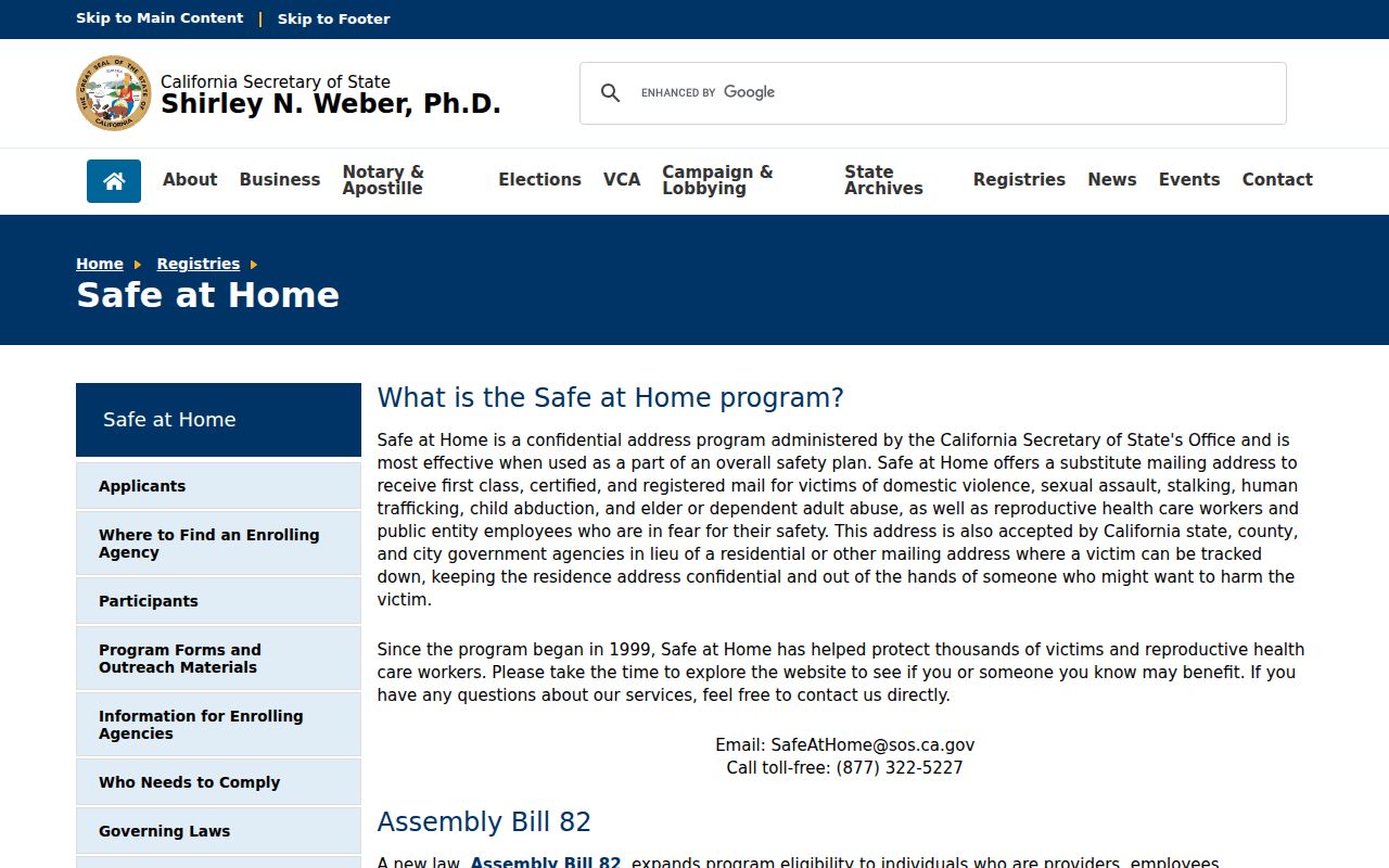
The California voter registration privacy guidance and Safe at Home program page show why a Redwood City neighbors search cannot use the public web form to browse a block.
A permitted file may include name, residence or mailing address, party preference, registration status and date, precinct, district, and participation history. It still does not supply a general household count or prove who is physically present at a parcel.
Privacy for Redwood City Neighbors
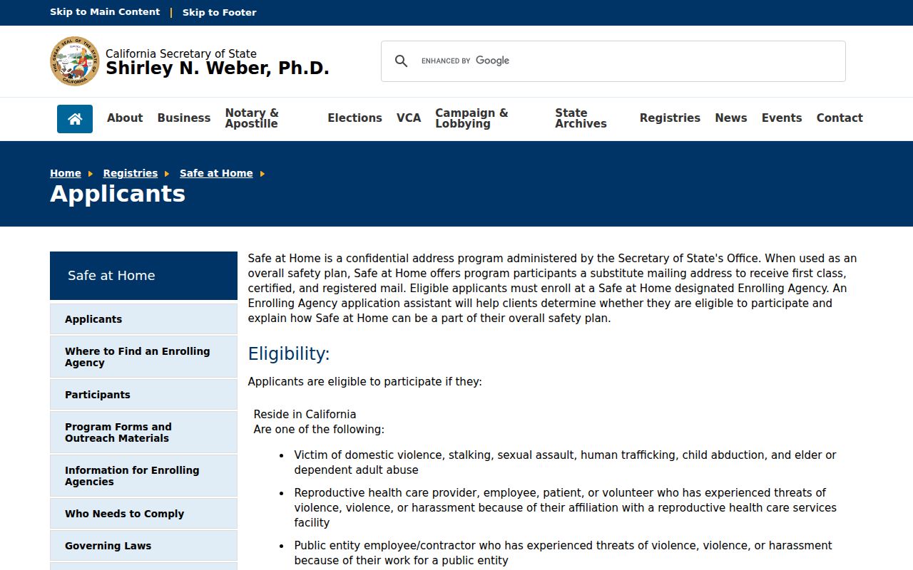
Safe at Home can give eligible survivors and at-risk people a substitute mailing address, confidential voter registration, and related protections. The applicant guidance describes eligibility and substitute-address use. A protected address can make a legitimate block search look incomplete. It does not prove that a person is absent.
The Safe at Home applicant guidance provides the official privacy context for Redwood City neighbors who may not appear at their physical address.
California privacy choices also include CCPA rights for covered businesses and the state DROP platform for deletion or opt-out requests to registered data brokers. Source-specific rules still apply to voter data, DMV data, court files, vital records, and recorded documents.
Lawful use. Redwood City neighbor research is for civic curiosity, reconnecting, genealogy, property context, and personal safety awareness. Do not use public records to watch, intimidate, stalk, threaten, or harass anyone.
Redwood City Neighbor Roster Myth
The central myth is that a GIS click, an assessment record, or a voter search can reveal everyone who lives on a Redwood City block. Official records are narrower. They identify parcels, assessed owners, recorded interests, selected project contacts, or approved-purpose registration data. Relatives, guests, occupants, and protected people may never appear in those sources.
| Evidence type | Useful strength | Limit |
|---|---|---|
| Official map and parcel records | Strong for location, APN, geometry, and jurisdiction | No complete household roster |
| Assessment and recorded documents | Strong for assessed ownership and recorded interests | Ownership is not the same as current presence |
| Permit and project records | Useful for work dates, contacts, and site history | Applicant or contractor is not automatically an occupant |
| Compiled commercial neighbor tools | May combine public and purchased data into a quick match | Coverage, freshness, source meaning, and lawful use vary |
Use the official source that matches the question, note what it cannot show, and stop at the boundary of the lawful purpose. A careful Redwood City neighbors search is more reliable when it admits uncertainty than when it promises a complete block roster.
Note: Record the APN, source, search date, and access rule for each nearby parcel before drawing a conclusion about the block.